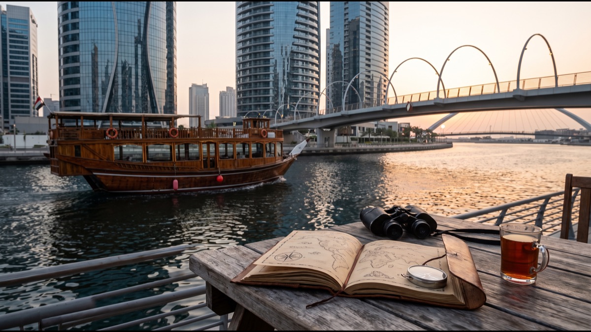
Dubai Canal is a roughly 3.2-kilometer artificial waterway that extends the historic Dubai Creek from Business Bay through to the Arabian Gulf, completed in 2016 as a major infrastructure and urban development project.
The canal effectively turned a section of central Dubai into an island, requiring several new bridges to maintain road connectivity across the water while creating an entirely new stretch of prime waterfront land for development.
Extending an Ancient Creek to the Sea
What There Is to See and Do Along It
Along its length, the canal is lined with landscaped promenades, cycling and walking paths, and a mix of residential towers, hotels, and dining venues, making it a popular destination for evening walks and waterfront dining rather than just a transit corridor.
Water taxis and abra boats operate along parts of the canal, offering a different way to experience the waterway and its skyline views, alongside the pedestrian promenades that run along both banks for much of its length.
Sources
- Wikipedia — overview of Dubai Canal's construction and route
- Visit Dubai (Dubai's official tourism site) — tourism board information on Dubai Canal attractions
- Dubai Municipality — official information on Dubai's urban infrastructure projects
FAQ
When was Dubai Canal completed?
It was completed in 2016, extending the historic Dubai Creek through to the Arabian Gulf.
How long is Dubai Canal?
It stretches roughly 3.2 kilometers from Business Bay to the Arabian Gulf.
Can you travel along Dubai Canal by boat?
Yes — water taxis and abra boats operate along parts of the canal, offering waterfront views alongside its pedestrian promenades.
About the Author
We reference Wikipedia, Visit Dubai (Dubai's official tourism site), and Dubai Municipality to explain the background and current understanding of this topic.
Loved This Article?
Share it on WhatsApp → Share it on WhatsApp
Get more guides in your inbox — Subscribe to our newsletter for weekly surprising stories from Egypt, Saudi Arabia, Dubai, and beyond.