The short answer
El Nino is the warm phase of a natural climate cycle in the tropical Pacific Ocean called ENSO, the El Nino-Southern Oscillation. Every few years, the trade winds that normally push warm surface water westward weaken, and that warm water slides back east toward South America. Because the ocean and atmosphere above it work as one coupled system, this single shift moves rainfall, jet streams and temperature patterns across much of the planet.
The cycle has three states: El Nino (warm), La Nina (cool) and neutral. Neither phase is a storm or a single weather event; each is a months-long background condition that tilts the odds toward certain kinds of weather in certain regions.
What the Pacific looks like in a normal year
In an average year, the trade winds blow steadily west along the equator, dragging warm surface water from the coast of South America toward Asia. The western Pacific ends up with a deep pool of very warm water, while the east stays relatively cool.
As surface water is pushed away from the South American coast, cold, nutrient-rich water rises from the deep to replace it. This process, called upwelling, feeds one of the richest fisheries on Earth off the coast of Peru and keeps the eastern Pacific surface cool.
What flips during El Nino
During El Nino, the trade winds weaken. The warm water that was piled up in the western Pacific sloshes back eastward, and the surface of the central and eastern equatorial Pacific warms well above average. The thermocline, the boundary between warm surface water and cold deep water, flattens, so less cold water can rise off South America and the upwelling that sustains the fisheries weakens.
Rainfall follows the warm water. The heaviest tropical rain, normally parked over the western Pacific, shifts east toward the central Pacific and the west coast of South America. That relocation of heat and moisture is the trigger for almost every downstream effect El Nino has.
The atmosphere's half: the Southern Oscillation
The ocean does not act alone. The Southern Oscillation describes a seesaw in air pressure across the southern Pacific, measured between Tahiti and Darwin, Australia. In normal conditions pressure is higher in the east and lower in the west; during El Nino that pattern weakens or reverses, with Darwin's pressure rising relative to Tahiti's.
Scientists treat ENSO as a coupled phenomenon precisely because of this: an El Nino is only declared when the ocean warms and the atmosphere responds, each reinforcing the other. Warm water without the atmospheric shift, or the shift without the warm water, is not enough.
How scientists officially declare an El Nino
In the United States, NOAA makes the official call. Its forecasters watch a specific patch of the equatorial Pacific called the Nino 3.4 region, which spans the longitudes from 170 degrees west to 120 degrees west. The key metric is the Oceanic Nino Index: the running three-month average of sea surface temperature anomalies in that region.
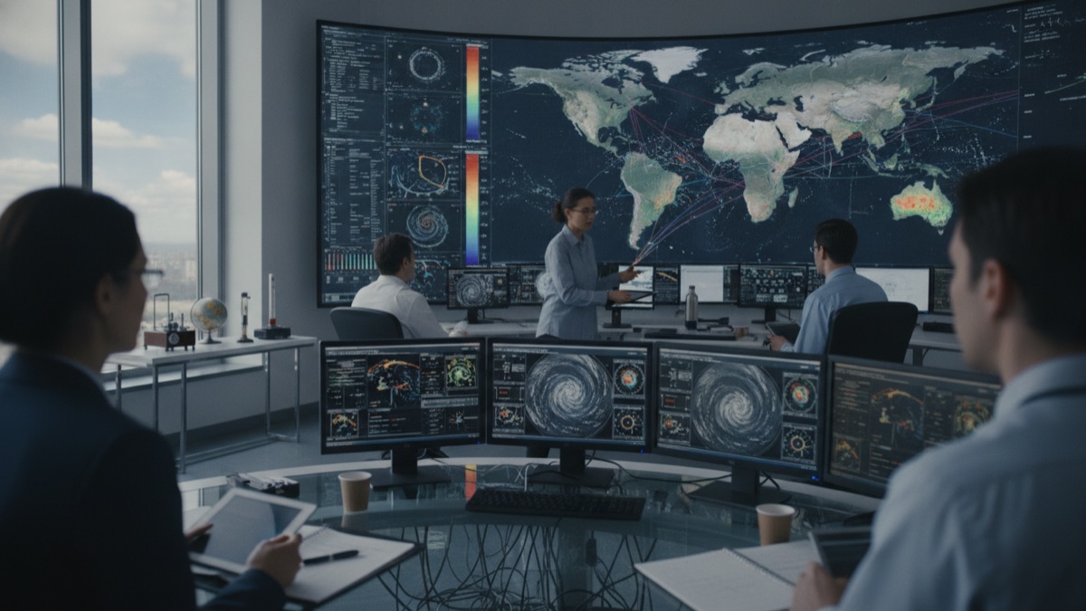
For an El Nino to be declared, that index must reach at least 0.5 degrees Celsius above normal and stay there for at least five consecutive overlapping three-month periods, and the atmosphere must show the expected response: weaker trade winds and tropical rainfall shifting east. Before conditions are confirmed, NOAA issues watches when an event is possible within six months and advisories once it is observed and expected to continue.
How El Nino reshuffles weather worldwide
The displaced rainfall and the repositioned Pacific jet stream produce a recognisable set of regional effects. The west coast of equatorial South America tends to turn much wetter, sometimes with flooding rains in otherwise dry regions of Peru and Ecuador. Australia, Indonesia and parts of the western Pacific often swing to drought, with heightened fire risk.
El Nino's largest effects in the Northern Hemisphere arrive in winter. The southern United States usually turns wetter while the northern tier turns milder than average. Beyond these well-studied regions, the cycle nudges temperature and rainfall patterns across Africa, Asia and beyond, which is why meteorological and humanitarian agencies worldwide track every event from its first appearance in the buoy data.
La Nina, the opposite phase
La Nina is the cool mirror image: stronger than usual trade winds push even more warm water west, the eastern Pacific cools below average, and upwelling off South America intensifies. Its regional effects are broadly the reverse of El Nino's, for example wetter conditions in eastern Australia and drier ones along the South American coast.
La Nina events also tend to last longer. Where an El Nino typically runs nine to twelve months, a La Nina can persist for one to three years.
How often it happens and how long it lasts
El Nino and La Nina events occur on average every two to seven years, but not on a regular schedule; the cycle is famously irregular, and El Nino generally occurs more frequently than La Nina. Events tend to develop between March and June, reach peak strength between December and April, and weaken between May and July.
A typical El Nino lasts nine to twelve months, though prolonged episodes have run for two years or more. The neutral state between the two phases, when tropical Pacific temperatures sit near average, is just as much a part of the cycle.
Why one patch of warm ocean matters globally
The consequences reach far beyond weather curiosity. When upwelling fails off Peru, the anchovy fishery that depends on those nutrients collapses, which is exactly how the phenomenon was first noticed. Farmers, water managers and governments use ENSO forecasts months in advance to plan planting, prepare for floods or brace for drought.
Humanitarian agencies watch the same forecasts, because droughts and floods linked to El Nino can threaten harvests and food supplies in vulnerable regions on several continents at once. Few natural cycles connect so many people's weather to one stretch of ocean.
Where the name comes from
Fishermen off the Pacific coast of South America noticed centuries ago that a warm current would periodically arrive around Christmas, suppressing the cold water and the fish. They called it El Nino, Spanish for the little boy, a reference to the Christ child because of the timing. Scientists later borrowed the name for the warm phase of the whole ocean-atmosphere cycle, and the cool phase was named La Nina, the little girl, by contrast.
Sources
- NOAA: definition, frequency (every 2-7 years), duration (9-12 months), the +0.5C Nino 3.4 threshold and the official declaration process
- NOAA Ocean Service: normal Pacific conditions, trade winds, upwelling, and how El Nino pushes warm water east
- NOAA JetStream: the Southern Oscillation pressure seesaw between Tahiti and Darwin, drought in Australia and rain in equatorial South America
- NOAA Climate.gov: ENSO as a coupled ocean-atmosphere pattern with El Nino, La Nina and neutral phases, and the watch and advisory system
- NOAA NCDC technical discussion: the Nino 3.4 region (170W-120W), the Oceanic Nino Index and the flattening of the thermocline
- NOAA education collection: ecosystem and community impacts and the history of observing the phenomenon
FAQ
Is El Nino caused by climate change?
No. El Nino is a natural climate pattern that has occurred for centuries as part of the ENSO cycle. Scientists continue to study how a warming climate may interact with it, but the cycle itself is not caused by human activity.
Can scientists predict El Nino?
Yes, months in advance. A network of buoys and satellites monitors Pacific temperatures and winds, and NOAA issues an El Nino Watch when conditions could develop within about six months.
Does El Nino affect the Middle East?
Its strongest effects are around the Pacific, but the cycle influences temperature and rainfall patterns worldwide. Regional effects vary from one event to another, so forecasters treat each episode individually.
How long does an El Nino event last?
Typically nine to twelve months, peaking in the Northern Hemisphere winter, though some episodes have lasted two years or more.
What is the difference between El Nino and ENSO?
ENSO, the El Nino-Southern Oscillation, is the name of the whole natural cycle. El Nino is its warm phase, La Nina is its cool phase, and neutral conditions sit between them.
About the Author
Written by the doyouknow.app editorial team with AI-assisted research and drafting, and checked against the sources listed above. Spotted an error? Email hello@doyouknow.app and we will correct it.
Loved This Article?
Share it on WhatsApp → Share it on WhatsApp
Get more guides in your inbox — Subscribe to our newsletter for weekly surprising stories from Egypt, Saudi Arabia, Dubai, and beyond.